At the end of the 2024 Itera-Lite the organiser announced that the 2025 event would be in Scotland, and they would be running the full 5-day Itera and the 3-day Itera-Lite version concurrently. The 5-day would be teams of 4 and the 3-day would be pairs.
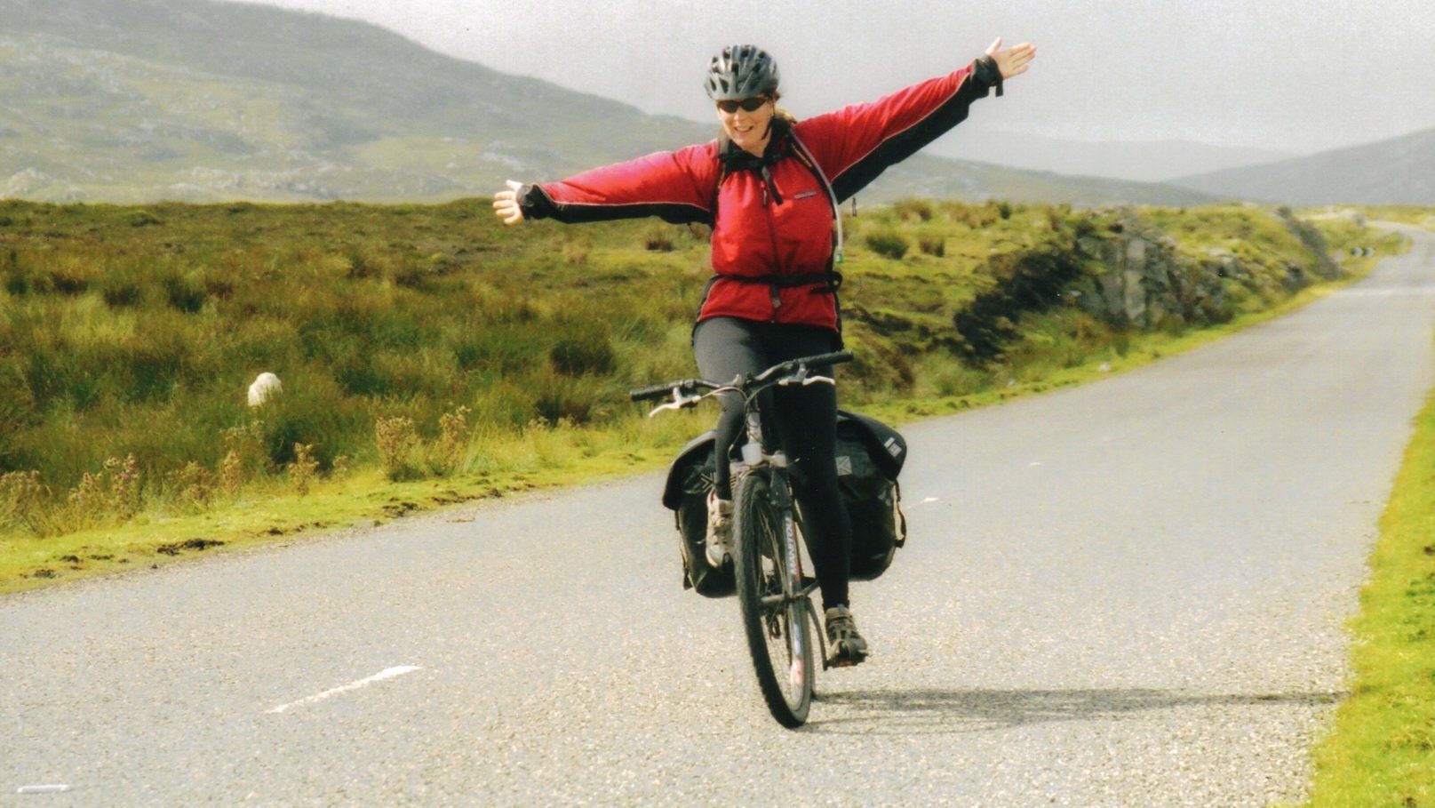
Of our team of 4 from Wales, Richard was keen to do the 5-day event; Carol & John Woodrow (JW) were keen to get another 3-day under their belt, they were both very strong and a good fitness balance between them, so would make sense for them to compete as a pair; whilst I would team up with my good friend John Patchett (JP).
John P and Sarah got me into Adventure Racing in 2001 and we raced together as a team for a few years. Carol, Sarah & I had also raced together in the mid-late 2000’s.
We lost Sarah to cancer in May 2024.
At Sarah’s funeral, JP had read out a note from Sarah:
“Be the best you can be, seek happiness, be kind to yourself and others, and of course, have fun!
Ciao Bella, Sarah.
PS, I think John might need help to complete my Munros!”
A few weeks after I had pitched the idea of reforming our Boghoppers Adventure Race team to John, during a curry night in Rosyth, he phoned to say he’d been thinking of what Sarah had said in her funeral message, … he was in….
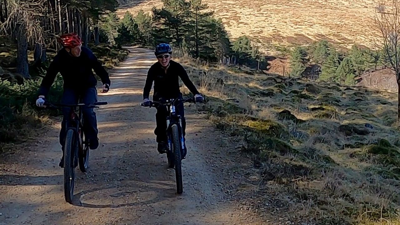
With Carol, JW & I all having an event under our belt, we knew what had helped us with training for Wales, we set training dates in the calendar, including an April weekend training, taking in 3 Munros at Loch Ossian as well as a mtb lesson from JW at Glenlivet the next day.
We were anticipating a rougher kayak section so had also booked in a training day via Lochore Meadows out at Elie.
JP was getting some good training days in as he was spending many days in the hills ticking off Sarah’s Munros. Carol & John were both adding to the tally as the training days ticked closer to the event. As is the norm with the event, around ten days before the event we received the schematic for the race. This allows you to plan race logistics, what equipment needs to be in what box and what nutrition you may need for each of the stages.

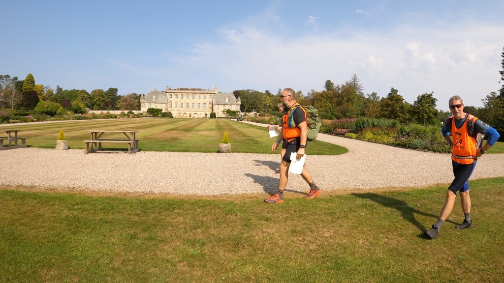
Registration and kit check on the Monday, with Team photos.


We gathered at the Race HQ at Badaguish early Tuesday morning 12th August, for the course reveal.
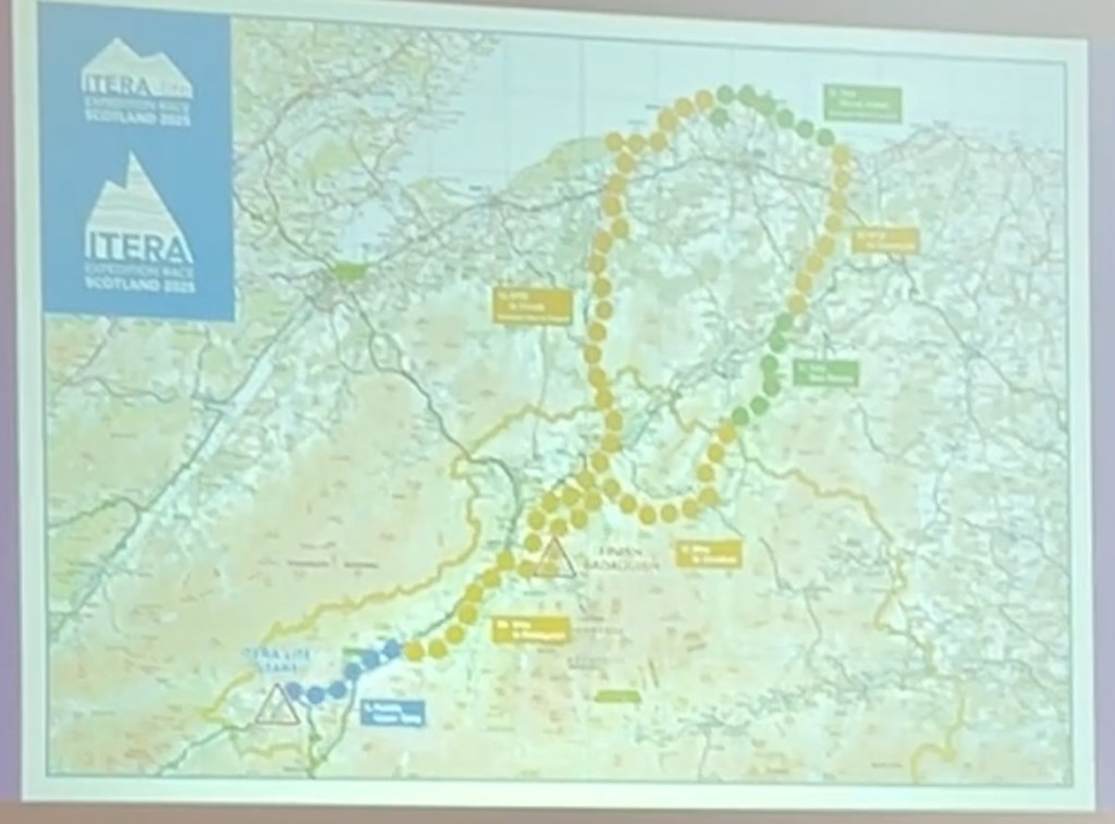
We’d be bussed to Wolftrax mtb centre to start a 5km run to the kayak section to Newtonmore, we’d then be mtb’ing back to Badaguish, a hill run, then back on the mtb’s to Glenlivet. Hill trek to Aberlour, mtb to Spey Bay, coastal orienteering on a 31km course through Lossiemouth to Gordonstoun School, then back on the mtb for a monster homeward section via Kinloss airfield, a kayak out to a ruined island castle at Lochindorb, an abseil across a canyon at Grantown on Spey before heading back through Abernethy forest back to base.
The event format is non stop, a course of around 330km, where the clock only stops when you cross the finish line, sleep is optional…so sleep or a lack of sleep strategy is important. Competitors who visit all checkpoints are ranked as “long course” and those who miss one or more checkpoints are classed as “short course”. Time penalties are added to your race time for any checkpoints missed.
The Itera-Lite teams would join the full Itera on Stage 8 of the 5-day race.
This was truly an international event, with teams from USA, Canada, Germany, Belgium, Netherlands, Irish, France, NZ, Poland, & the UK. There were 23 teams of 4 in the Itera and 30 teams in the Itera-Lite.
We quickly did out last minute preparations, got our kit boxes, team boxes and bike boxes loaded onto the correct van and got ready to depart to the start.

The key difference this year would be the weather, the first two days of the full Itera had been marred by high winds, from Tuesday, the weather was to turn very warm and sunny, that was an issue for me as I really struggle in the heat, I’d need to try and manage this.
We wished each other all the best and I remember saying to Carol & JW “always look ahead, not back”.
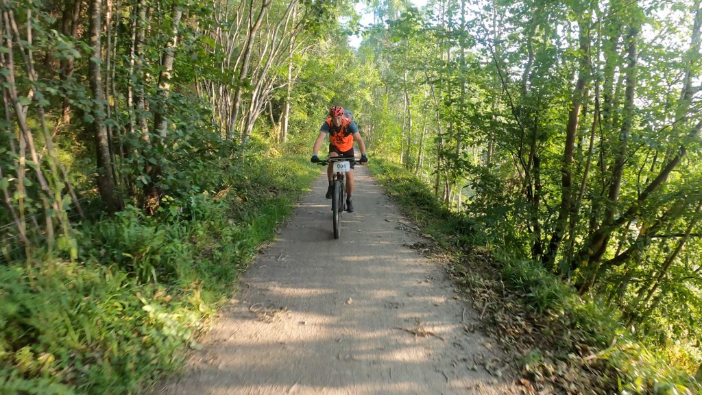
Stage 1A – 5km run to the Kayak
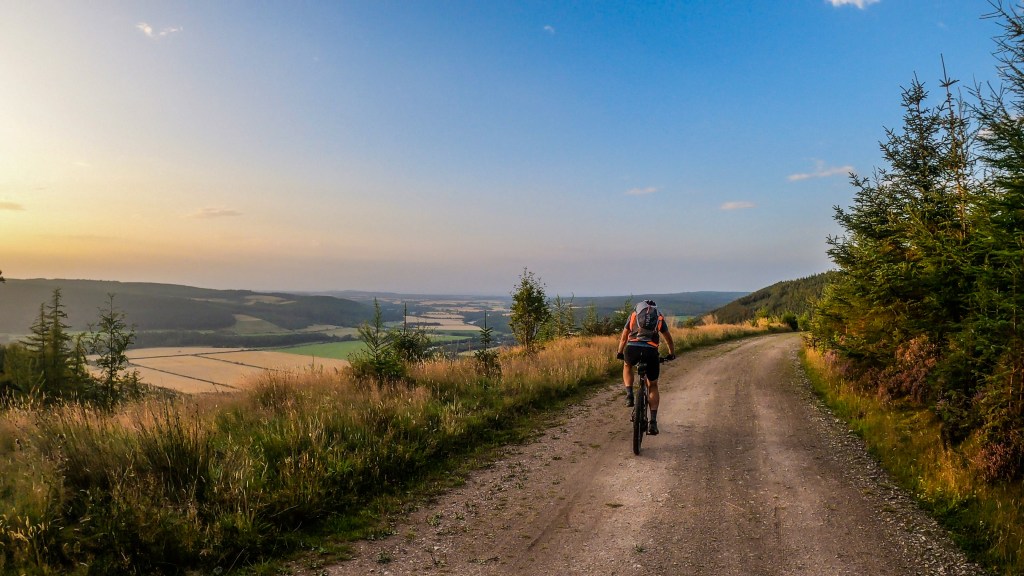
Straight forward 5km to the kayak, very steady light jog here we’d be out for 50-60hrs, so saving a few minutes here won’t make a lot of difference, but going too hard could cost much more time later on. The sun was very strong and there was virtually no wind. Gas Mark 5.
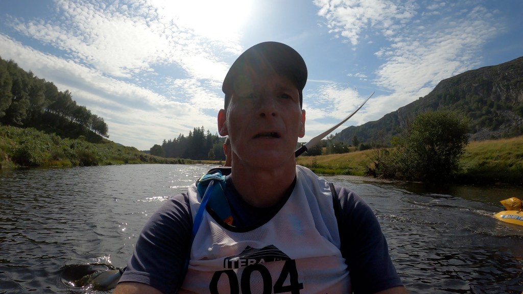
Stage 8 – 22km Kayak along the River Spey
The first challenge was getting the kayak into the water as we had to negotiate steep steps and a narrow walkway.

Photo Courtesy of ARWS
We were off! We quickly realised this would be a kayak + a full body workout as we had to negotiate fallen trees, low branches and the low water levels.
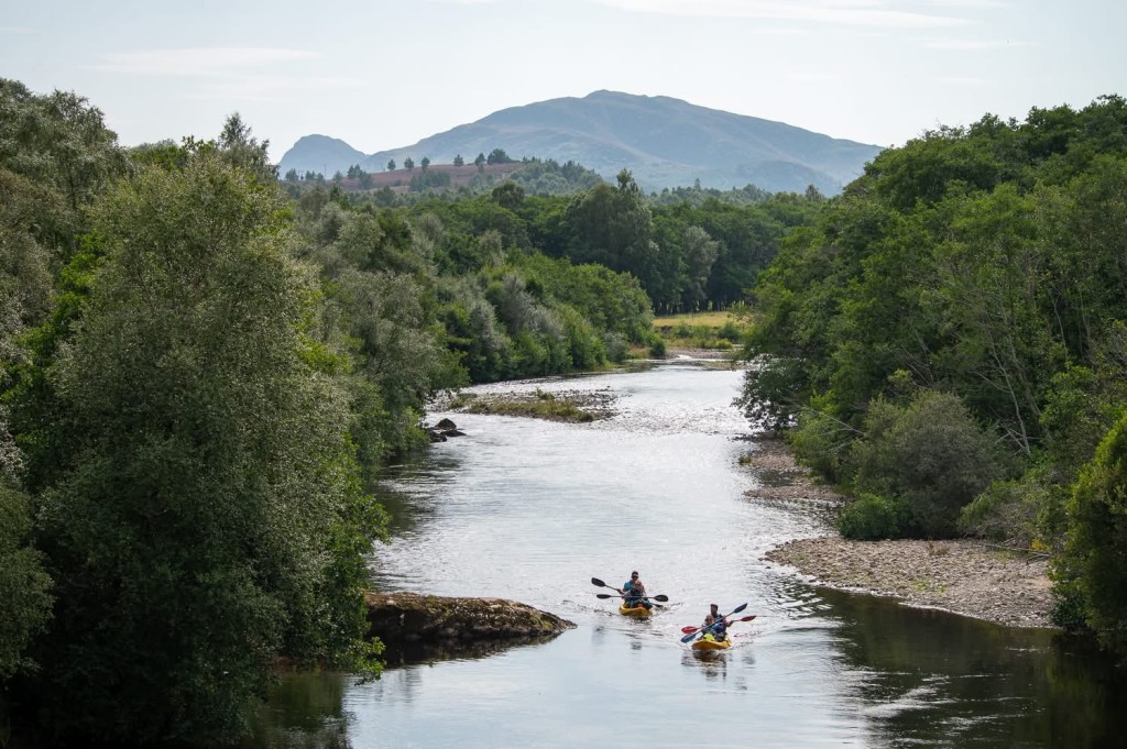
Photo Courtesy of ARWS
There was a lot of portage across the shallows / rapids, however we developed a technique of me lying back to lift the bow of the kayak up, that helped us “ride” the shallows. Kayaking north I could feel the heat of the sun behind me, even with a hat on, again, no wind, elevated temperatures, I tried to keep hydrated but was sweating a lot with all the kit on.
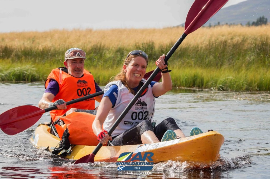
A great picture of Carol & John powering away. Photo courtesy of ARWS
After around 3 1/2hrs we reached the transition, a shout of support to Carol & JW who were ahead of us.
Stage 9A – 33km MTB
A beautiful mtb from Kingussie to Badaguish, past Ruthven Barracks then along the Speyside Way. This was a beautiful section of biking with some fantastic singletrack as we made our way north.


Stage 9B – 13km Hill Trek
This was decision time. We opted not to do this stage as the time penalties for not doing this were 4 hours, but with an estimated time of 2½ – 3½ hrs. This would be done in the dark and experience had reminded me that trekking in the hills is a lot slower at night. We needed to save our beans for later in the course…Not doing this section may cost us a 4hr penalty now, but it would impact us more physically later on if we did it, potentially wiping out any time benefit by doing it. “Make good decisions” – that was the simple briefing from Phil Humphries at all his ACE RACE events in the early 2000s. He’s right…it’s the secret to Adventure Racing. I was sure we made the right one.
Stage 10 – 48km MTB
With the obvious routes through Abernethy Forest being out of bounds, this took us on an unusual route through the Abernethy Forest, heading east towards Tomintoul. This had several river crossings with hike-a-bike sections on rarely used paths. The sun was down, but it was still warm and muggy. I was still sweating loads, not helped by my poor Nav out of Badaguish, following the wrong route out.
We headed towards Glenlivet mtb trail centre. I knew this road, it was steep all the way up to the centre car park. I was spinning away but still feeling hot. We stopped at the trail centre to fill my water bottle up. I tried to flush some of the water through but it still felt warm, I drank a load of water straight away, then refilled the bottle before heading down the trails.
10-15 mins later as we were coming down the red mtb route I was projectile vomiting at the side of the trail. Not a good sign.
We carried on further, knowing that that big relentless climb was still to come. We’d been here in April and it had been hard then, we had more miles in the legs now and it was much, much warmer..
As the climb got steeper I was once again violently ill. JP pushed my bike to give me a break as I slowly made my way up to the top. I had to stop a few times to lie down but eventually made it to the top, where I once again lay down staring at the sky above. I could hear John walking around trying to find the route down, he pointed in a direction he thought we should go, “no John, that’s south, we need to go north”. He consulted the map again and after a few words of protest, conceded….maybe I wasn’t as ill as I feared.
This was a straight downhill through some wonderful single track, in the middle of the night, all I had to do was sit on the bike and steer…I could do that. 5km later we arrived in transition. I said to JP that I needed to lie down so got out my bivvy bag. JP brought me boiled water, but that didn’t help, I opted to get some sleep instead. I woke up around 3hrs later and felt much better. I saw JP sleeping beside me as I went to try and eat something. Things were looking up.

Photo courtesy of ARWS/Adam Rose & Rob Howard
JP and I had a chat. Crack on was the decision.
As we were getting ourselves ready for the next stage I recognised the full 5-day Itera team coming into the transition – Richard, Dave & Kim, all former Itera-Lite team mates of mine and friends I’d met at the Heb and their teammate Ali. It was a wonderful to see them, just when I needed a morale boost.
Kim said “I was thinking of you yesterday in that warm weather Alan as I know you don’t do well in the heat…” It certainly brought a smile to my face.
Rob Howard from Sleepmonsters and the ever-cheerful Adam Rose were also around, on their media duties, and they showed great interest in the writing in our bike boxes about Sarah.

They were both very kind and it brought us both a much needed lift.
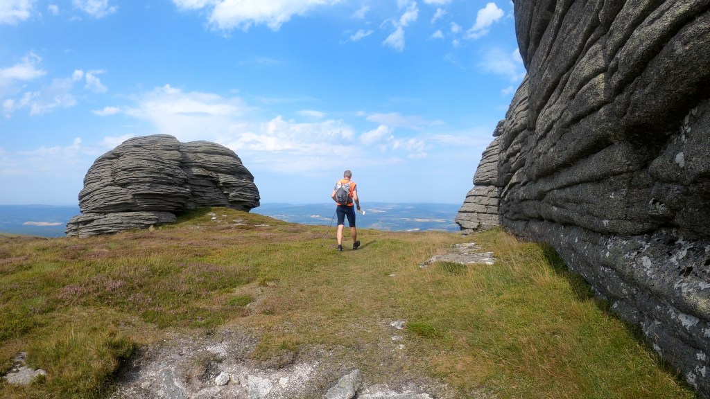
Stage 11 18-27km Trek
This route would take us towards Ben Rinnes (840m high) which was just shy of halfway along the stage. As we approached the open moor, twice the heavens opened with a full monsoon style of rainfall.

30 minutes later, the sky was clear and we were back in the full force of the morning sun again, this made the steep climb up the last few hundred metres tougher. We picked up the three checkpoints on the hills, opting to drop the 4th as it sat someway off course and made our way down to Aberlour, around 7km away.
By the time we approached Aberlour, we were both feeling the heat, so we nipped into a Glenallachie Distillery visitor centre and bought lashings and lashings of ginger beer.
Before we hit transition, we stopped for ice cream and more juice from the local Co-op, whilst other teams opted for fish and chips, maybe later…
Stage 12 – 33km MTB
This route followed the Speyside Way out of Aberlour, to Craigellachie then the steep climb out of there along the Speyside Way towards Garmouth & Spey Bay.
It was another beautiful evening as the sunset during our ride through forest trails and alongside the Spey, we looked in wonder as the red Moon rose in the east, it was a wonderful sight.
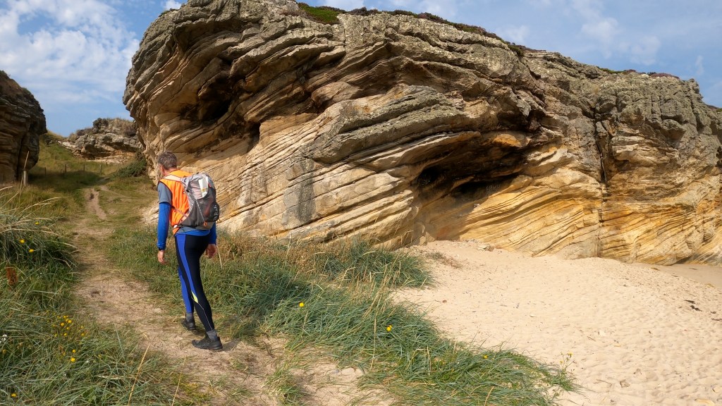
Stage 13 – 23-30km Trek / Orienteering Section
This was a tricky one for us. We were arriving around midnight about to go on an orienteering section. This would be very difficult in the dark. Do we sleep and wait till dawn? Or go along and see what we can see? The start of the orienteering was around 4-5km away, so we opted to go along and see what it was like. Well, after walking for 90mins or so, not only could we not find any orienteering points, we couldn’t be sure we were at the start of the course… we opted to bivvy down on the beach and wait for dawn. JP woke me at dawn, he’d already worked out we weren’t at the start yet, it was further along. The nap did us good as we started to realise what we were looking at on the map compared with what we could now see. There was a line of WW2 tank traps along the coast (shown as the black dotted linear lines) and every so often, a machine gun pill box (the small black boxes within the black dotted line below).
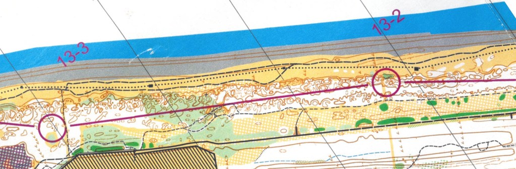
If we counted the pill boxes, then we’d know for sure where we were on the map…genius! With a contour line of 2.5m, that made for tricky nav as we had to work out which knoll we were looking for.

John reading the orienteering clue “ruined WW2 machine gun post?”
Photo courtesy of ARWS/Richard Taylor
We made our way along the beach, gathering the checkpoints that we could find, the beach turned more and more sandy as we approached Lossiemouth. Before the last checkpoint, another monsoon type shower came down, making big impact craters on the sand. Ten minutes later, it was gone and the sun came out.
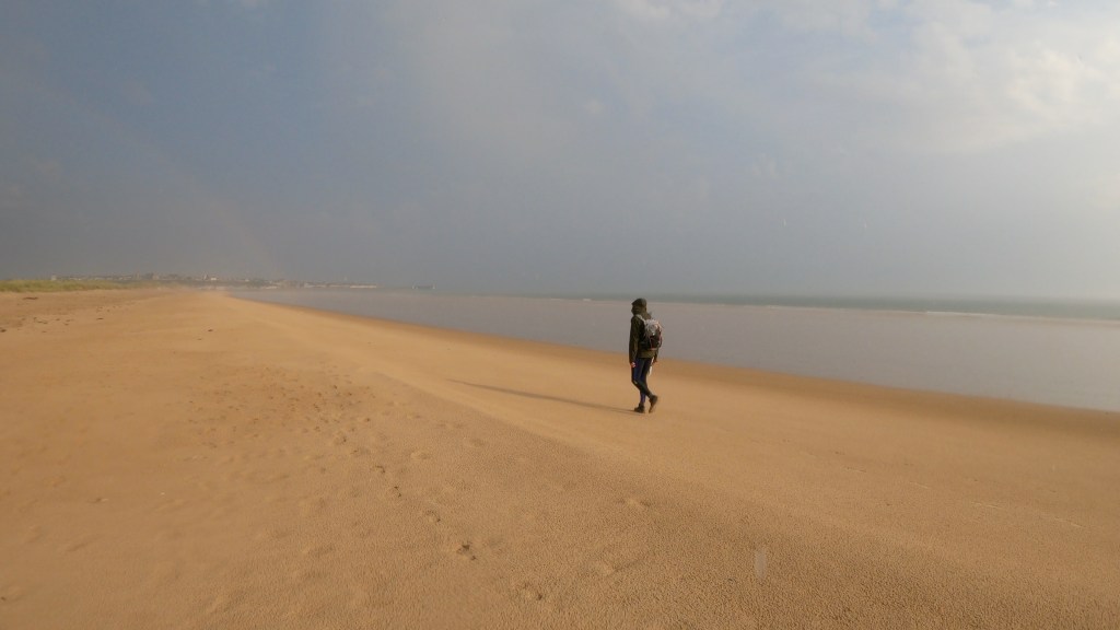
We made our way into Lossiemouth for bacon rolls and coffee.

Photo courtesy of ARWS/Adam Rose
The course wasn’t finished yet as we still had to navigate our route to Gordonstoun school over 10km away. It was a relief to start climbing off the beach. We could hear the jet aircraft flying around Lossiemouth, but they were hard to see. As we passed through a field John shouted to me to look, and pointed at what I thought was a bin bag flying in the air, then realised it was a jet flying at 90Deg to the ground, straight up! What a sight!
At Gordonstoun there was more orienteering, although much easier than that along the coast.
JP, Dave & Megan exploring the grounds of Gordonstoun.
As we approached transition at the small village of Duffus, we spotted our friends Gordon & Carmel who had been tracking us and had come along to give us some support. It was great to see them. Their dog Hector came up to me to say hello, Carmel noting “he must remember you, he doesn’t normally do that to people” I had previously thrown a few balls for Hector…

Stage 14 – The Final Sprint – 123km MTB & Special Stages
We set off towards the Moray Coastal Trail towards Kinloss Airfield where the race had obtained special permission from the MOD to ride down the runway, as well as a checkpoint on the landing gear of a Nimrod, it made for spectacular photos!


Photo courtesy of ARWS/ Rob Howard & Adam Rose
I got another morale boost there as the event marshal at the entry gate was John McLeod, a friend for many years and who’s helped me in training for events over the last few years, he had heard I’d been ill so was pleased to see me still going. I told him I felt good and asked him where we could get some hot food nearby.
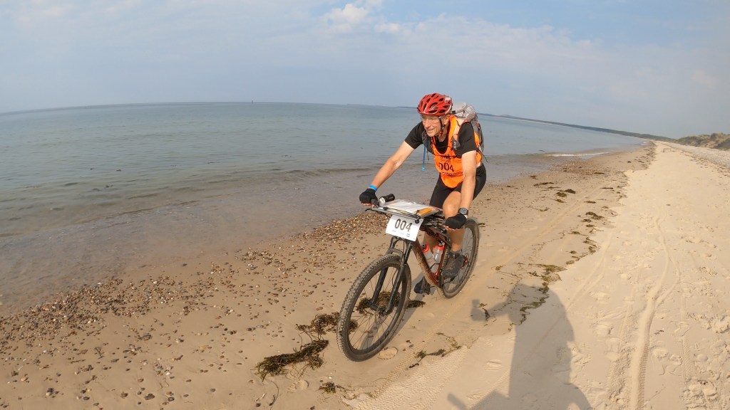
Back through the Moray forests then along the beach to Findhorn, a reminder of the beach riding in the Heb.
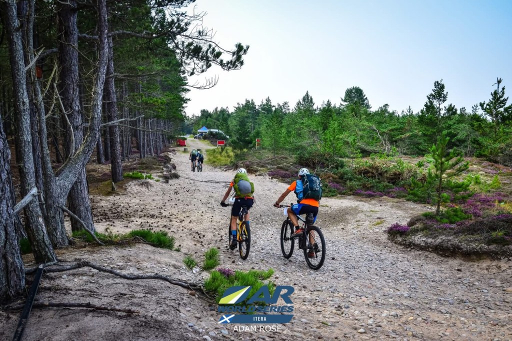
Photo courtesy of ARWS/ Adam Rose

We arrived in Findhorn, John McLeod had mentioned there was no chip shop in Findhorn or Kinloss, so we opted to stop in a pub recommended by him. Proper food & fuelling now would be money in the bank for later. Food was fantastic and we had caught the interest of the other customers in the bar, they gave us a resounding cheer as we headed off into the evening towards Forres and the Dava Way.
That was easier said than done, as the start of the Dava Way was quite hard to find, we asked a few locals, they struggled to explain how to get there, although everyone was very kind and wanted to be helpful!
Eventually we found it…
Our last big decision was whether to do the MTB Orienteering course. If we didn’t do it, we’d incur maybe a 60-90mins penalty. If we did it, we’d very likely need to stop for a sleep later on the course, wiping out any time saving that we would make by doing it.
JP had said back at Findhorn that this was going to be a huge effort to get back and he was feeling the fatigue of the event.
Now he was at the MTBO section he was keen to do it. I reminded him what he had said in Findhorn, he replied “Yes…but I’ve had fish and chips now…”, my view was to save his beans and do the other two stages ahead and crack on, we reached agreement, we carried on up the Dava Way as night descended.
On route, I could see some people jumping up and down ahead, it was Gordon & Carmel again, offering a last piece of support before we headed onto the moorland ahead.
After a few more hours we reached the turnoff for Lochindorb.
This place had a big connection for us as we had stayed here twice with a big group of our friends, Sarah included. The Special Section involved us paddling out to a ruined 13th Century castle, associated with the Wolf of Badenoch, on an island 300m of the shoreline. It was quite a spooky paddle out as the silhouette of the castle came into view.

Photo taken earlier in the evening as it was dark when we got there, courtesy of ARWS/ Adam Rose
Checkpoint found, we paddled back to shore.
The marshal said “I’ll give you a minute off your time if you can tell a joke that makes us laugh”. Challenge accepted..
I used my “two cows are in a field, which one is on holiday?”, they shrugged, “the one with the wee calf” I replied.
They were so impressed they took two minutes off…😀
We left them, still laughing, and followed the off-road route for another 10k to reach another checkpoint in a ruined cottage in the middle of the moor, it certainly felt a bit eerie as you entered the deserted place. Richard’s team told me later that a herd of sheep ran out of the house as they approached, which gave them a huge fright.

The last Special Stage on this section was an abseil and a Tyrolean traverse across Huntly’s Cave (which isn’t a cave), just to the North of Grantown on Spey. That was a lot of fun, especially in the dark.

Photo taken earlier in the day as we got there at night, courtesy of ARWS/ Rob Howard
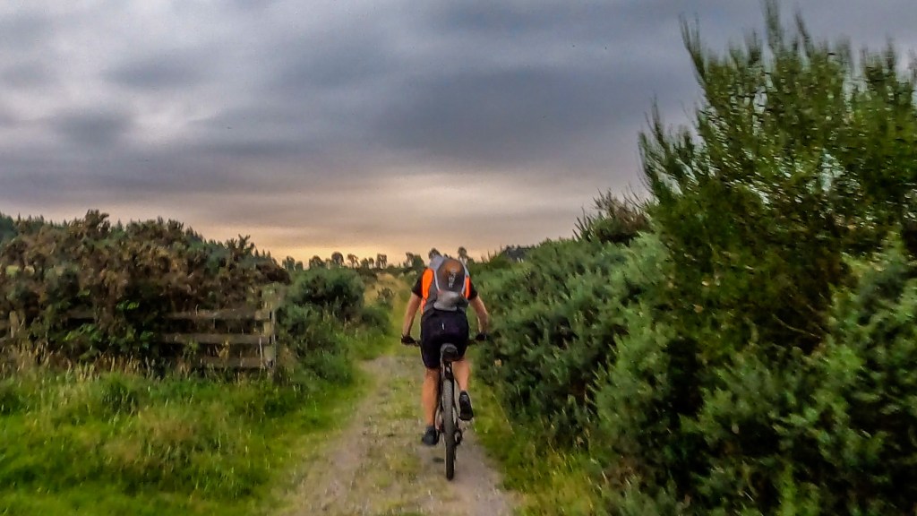
Special Stages complete; we now had the long bike back to Badaguish. Down the Dava Way, through a deserted Grantown on Spey, towards Nethy Bridge and into Abernethy Forest.
It was evident JP was feeling the fatigue, we debated about whether a nap would help, or crack on, I dug a can of Appletiser out of my bag to give him a boost and agreed to crack on.
As we made our way through the forest, JP asked “how long until we’re back on the road?” He was keen to get back to smoother riding, however as we rejoined the road, the smoother road was making it easier for him to fall asleep…while still riding. We finally reached the turnoff for the forestry track that would lead us back to the finish.
“2km uphill, then 2km downhill” I said, “Don’t fall asleep on the downhill…”
JP put everything into that climb, a real determination to get to the finish. I had a feeling of what this meant to him. We joked later that Sarah must have been pushing him, as he hadn’t been that strong all day…
We stayed together on the downhill and eventually started to see the lights of the finish, bikes down and a short jog to the finish. As emotional as it gets as we hugged each other.

We said our thanks to Paul McGreal and the marshal team there who welcomed us back and brought us beer and pizza.
It was never about the result; it was about the journey.
It was sheer fate that so much of this journey had a connection to Sarah, we had pointed to each other on the course, the many places we had stayed, visited, trekked, mountain biked with her. Family & friends who were tracking us on the Live Tracker also made the connection.
Oh to have still been able to have seen her at the finish.
As the David Harkins short poem goes “You can shed tears that she is gone, Or you can smile because she has lived”
Many thanks to our fellow Adventurers Carol & JW for the many fun hours and laughs in training, those we met on the way and shared so many experiences with, the Itera organisers and marshals for putting on a spectacular event. Finally, our families who gift us the time to participate and “follow the dots” on the live tracker.
